
Remote Sensing & Photogrammetry
Embark on an awe-inspiring journey that transcends the boundaries of traditional mapping. Through advanced satellite and aerial imagery, our Remote Sensing services offer a unique perspective, delivering accurate, real-time information for diverse industries and applications. Whether you seek environmental monitoring, disaster assessment, or urban planning insights, our remote sensing experts employ cutting-edge techniques to provide you with valuable geospatial data.
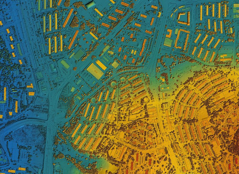
Immerse yourself in the world of three-dimensional magic with our Photogrammetry services. By utilizing advanced image processing and computer vision algorithms, we reconstruct the real world in breathtaking 3D detail. Through aerial imagery and LIDAR data, we capture intricate terrain features and objects with exceptional accuracy. From architectural modeling and cultural heritage preservation to industrial surveying and virtual reality experiences, our photogrammetry solutions offer a new dimension of accuracy and realism.