Digital Mapping

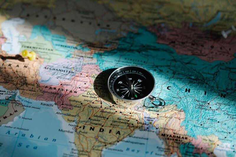
Digital Mapping or Cartography is the fusion of art and science dedicated to creating maps. It involves collecting, interpreting, and representing geographic data. Cartographers use tools like aerial photography, GPS, and field surveys to gather information about the Earth’s surface, including natural features and human-made structures. They then choose map projections and design elements to accurately depict this data on a two-dimensional surface.
Maps serve various purposes, from navigation to urban planning, and they provide valuable insights into spatial relationships and patterns. With the rise of digital technology, cartography has evolved with Geographic Information Systems (GIS) and computer-assisted mapping software, allowing for more precise and dynamic map creation. Ultimately, cartography helps us explore and understand the world around us.
