discover insights, elevate decisions.

We offer

Company Insights

We pave the way for innovative GIS applications, setting the benchmark in spatial data analytics.

Planet Informatics, Inc., registered with the Securities and Exchange Commission of Pakistan (SECP) in March 2022, stands as a testament to our commitment to formalizing our operations and providing a structured foundation for the wealth of experience accumulated over the years. Even though we officially established in 2022, the journey of Planet Informatics goes back to eight years ago when our team, driven by professionalism and expertise, embarked on a mission to deliver cutting-edge Spatial Data Analystics and IT solutions independently. This period of working autonomously allowed us to refine our skills, build a robust portfolio, and establish a reputation for excellence in the industry. We are committed to leveraging contemporary methodologies to address the unique challenges faced by organizations across various sectors. Our commitment to innovation and expertise is exemplified by the contributions of our founding members, who played a pivotal role in establishing the GIS & Remote Sensing Section at Punjab Food Authority, Government of Punjab as private consultants. This initiative led to a significant transformation in the licensing regime at PFA, demonstrating our ability to effect positive change and drive innovation within the industry.

.  

discover insights, elevate decisions.

"Spatial data analytics: Where patterns reveal insights & geography guides the decisions."

Our Core Services

Digital Mapping

Our cartographic expertise extends beyond professional mapping. We develop visually appealing and information-rich maps that go beyond representation, providing valuable insights for better decision-making.

Remote Sensing & Photogrammetry

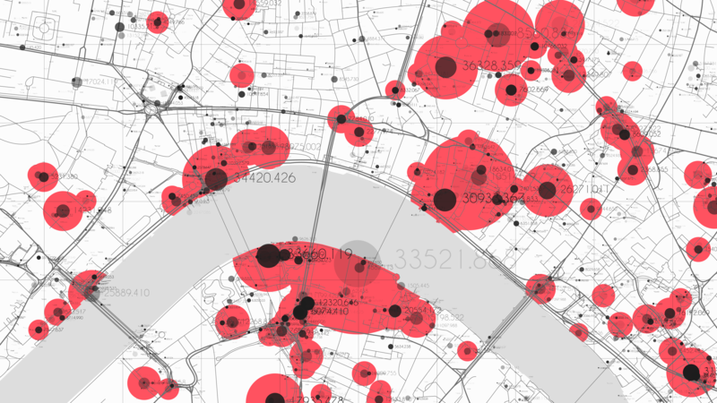
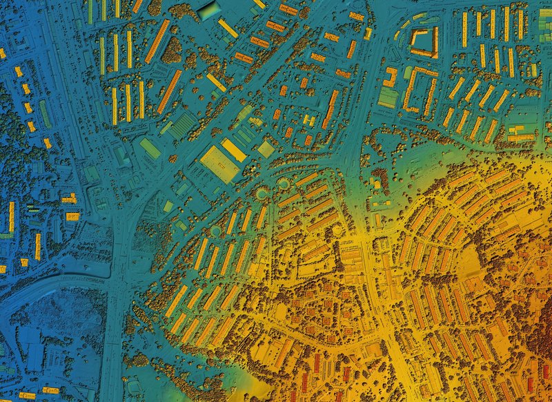
Planet Informatics stands at the forefront of remote sensing analyses and photogrammetry. We extract actionable intelligence from satellite imagery and aerial photography, supporting environmental monitoring, land use planning, and infrastructure development, solely for the sustainable conservation of natural resources.

GIS Analyses

Harnessing the power of Geographic Information Systems (GIS), we offer in-depth spatial analyses that drive informed decision-making and optimize resource utilization. Our team of GIS specialists is dedicated to delivering solutions that propel organizations toward success.

GIS Consultation & Training

As a trusted consultancy partner, we provide expert guidance and training programs to empower organizations in navigating the complexities of geospatial technology. Our leadership team, including Mr. Ahsan Sarwar and Mr. Arslan Ali, brings a wealth of knowledge and experience to every project.

Help Desk

Scroll to Top